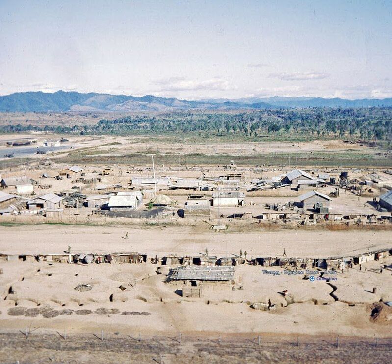
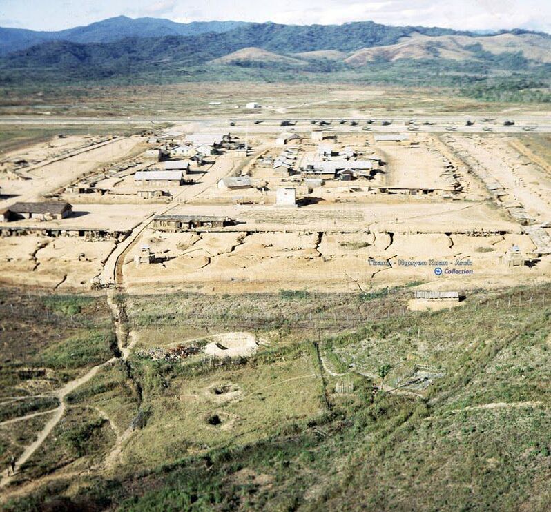
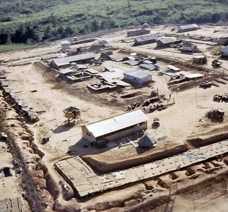
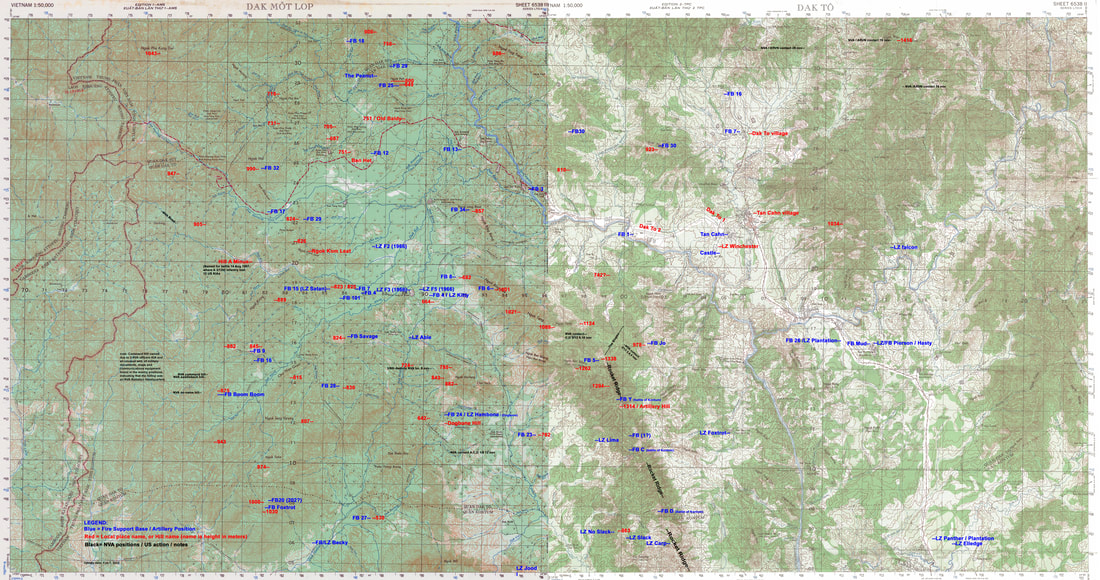
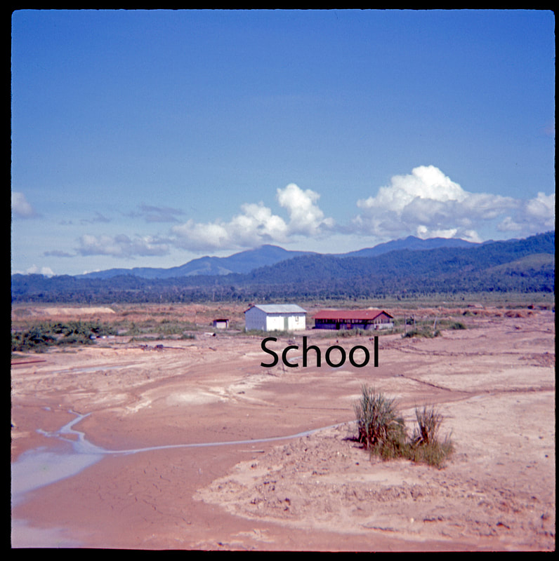
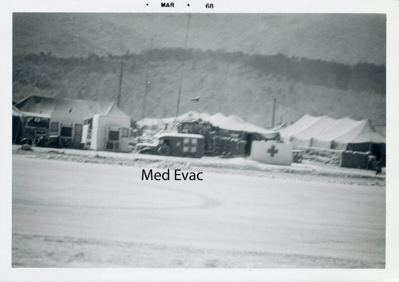
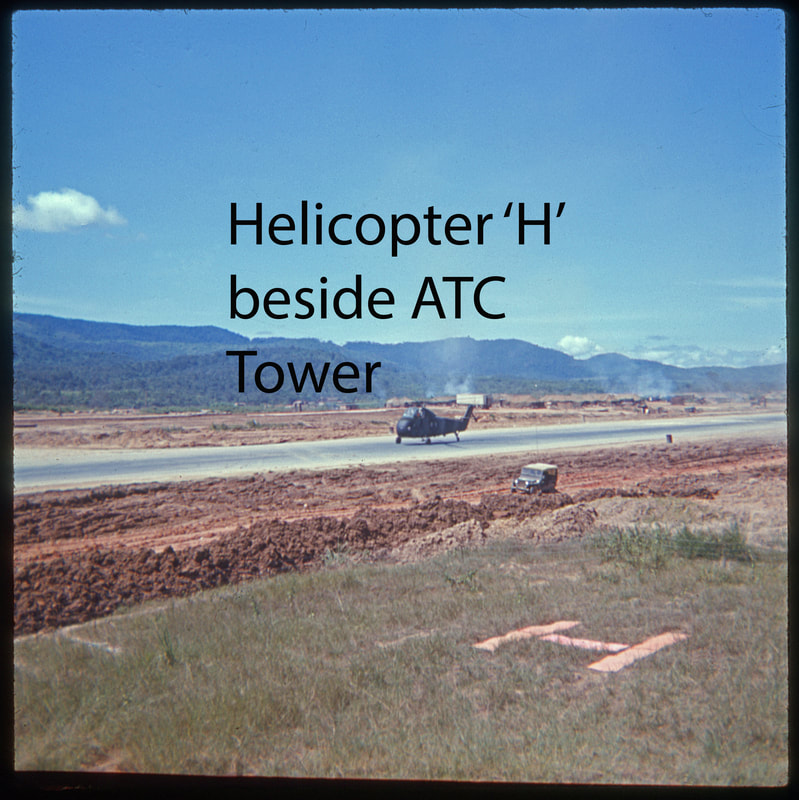
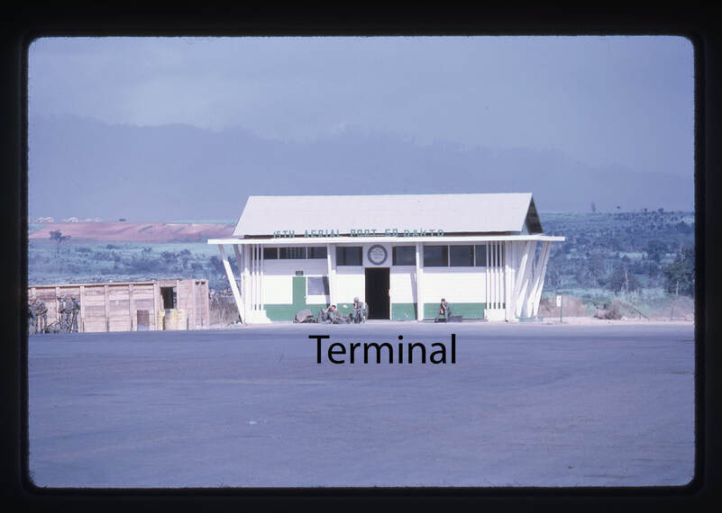
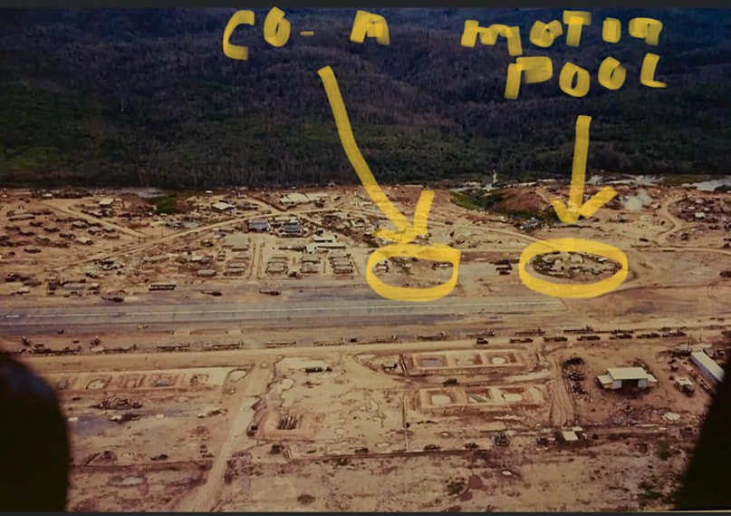
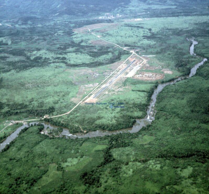
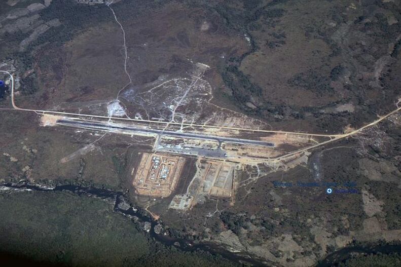
Landmarks around the Dak To airfield,
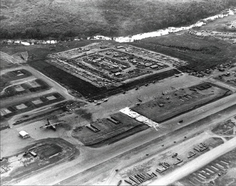
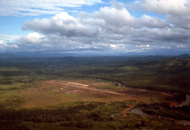
Airfield Overview,
and Dak To area map
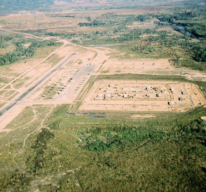
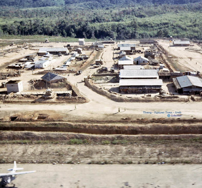
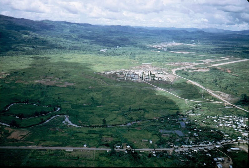
Airfield Overview,
and Dak To area map
|
|

|
|
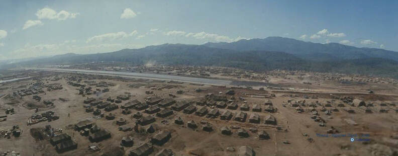
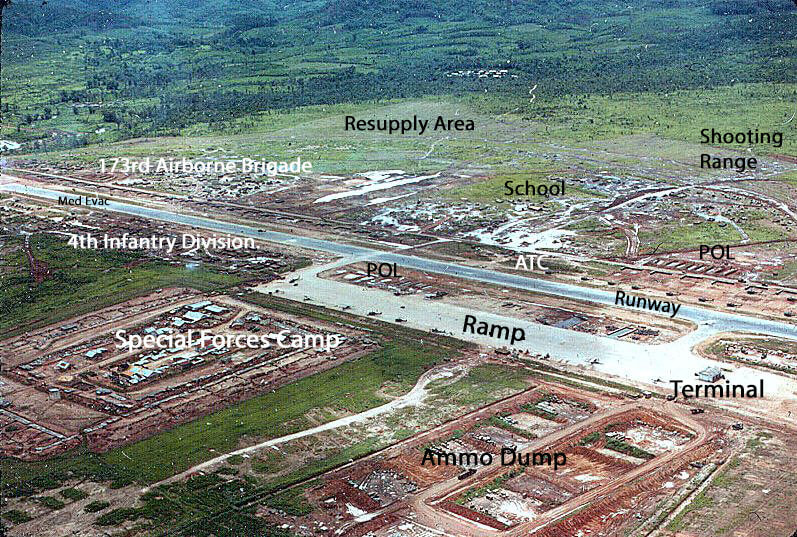
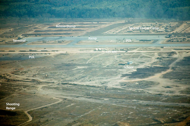
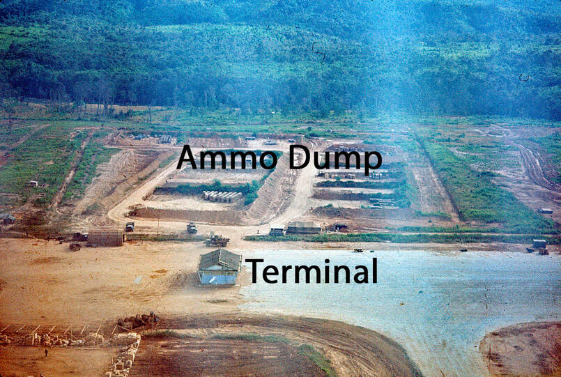
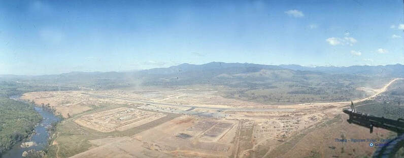
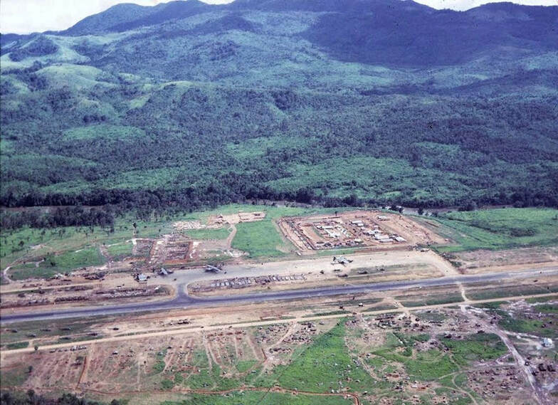
Dak To - Late summer 1967
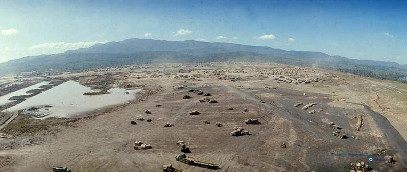
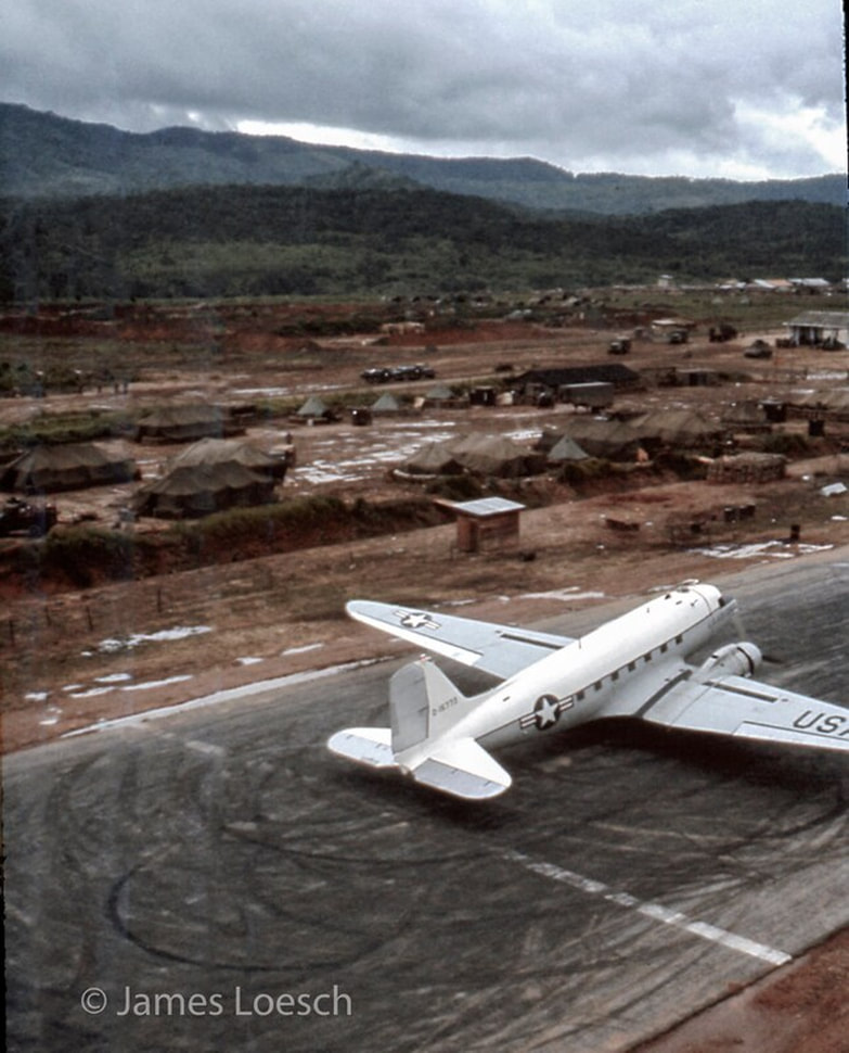
335th AHC Cowboys - Gunship Crew Chief Ship #12930 I took the image as we hovered over the east end of the Dak To strip to our revetments on the north side after refueling. I have seen this image many times over the years because it is in a folder I use as screen saver files. I am always surprised at how casual our flying was, hovering 75 feet above a DC-3 preparing for takeoff. James Loesch March 23, 2022 note: Notice the Terminal at top-right of photo. Photo from Facebook "Central Highlands Veterans" group. |
|