Runway
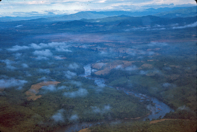
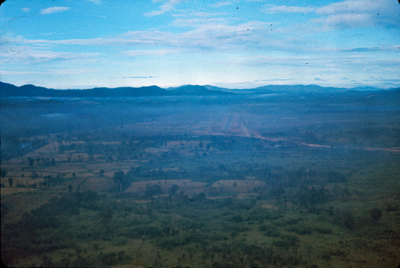
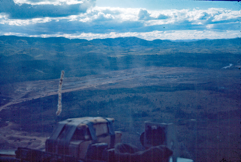
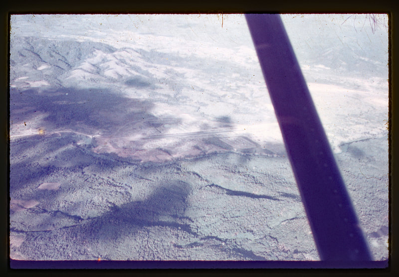
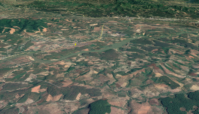
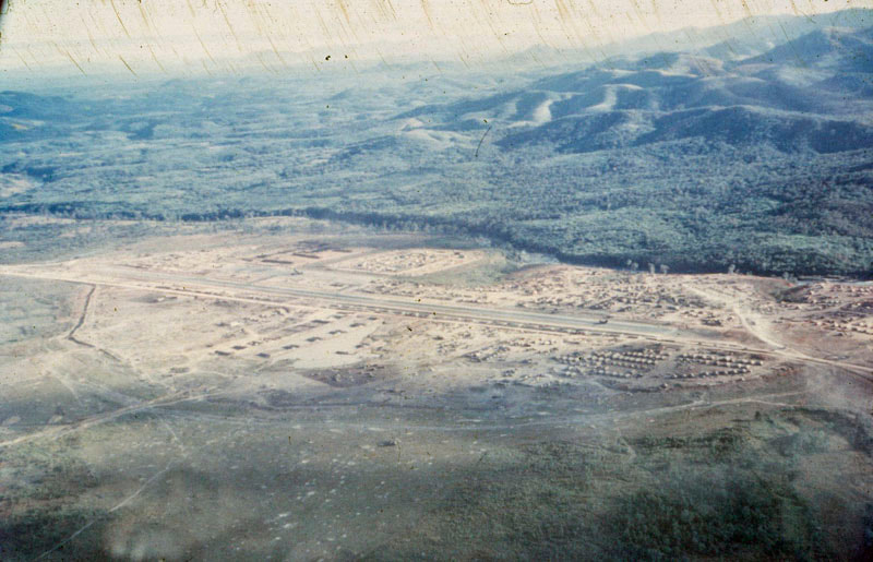
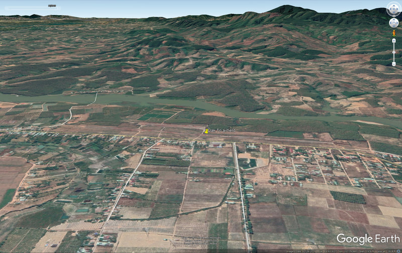
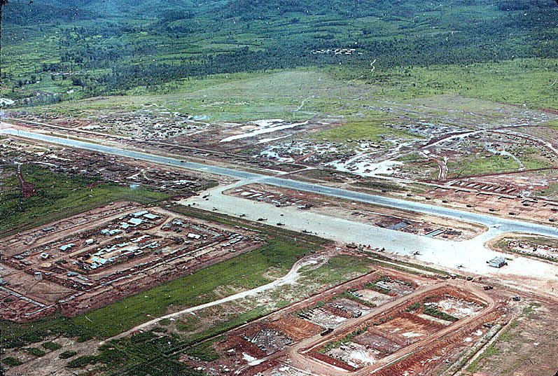
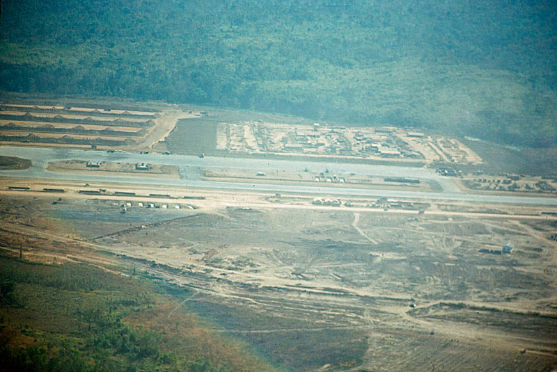
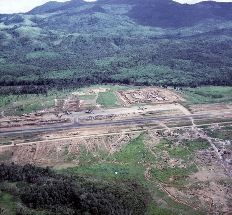
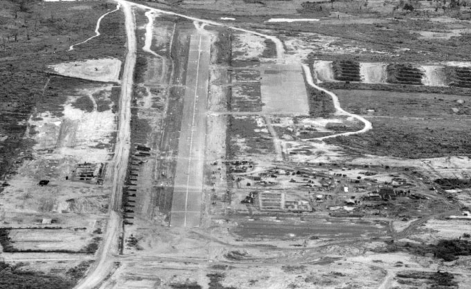
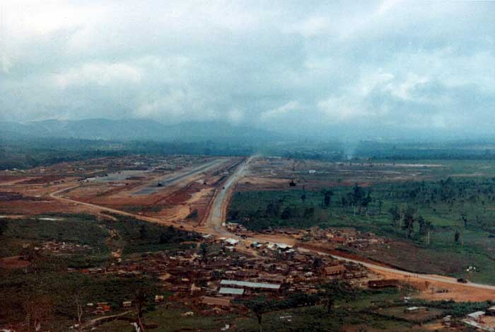
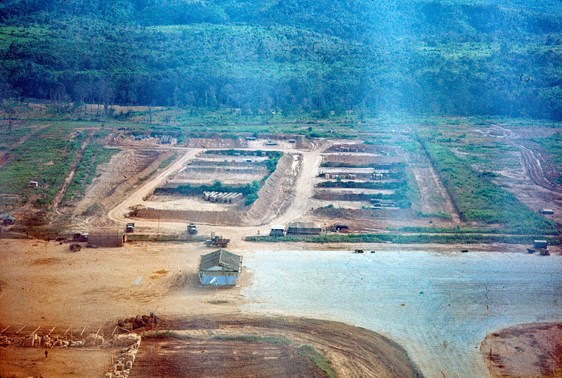
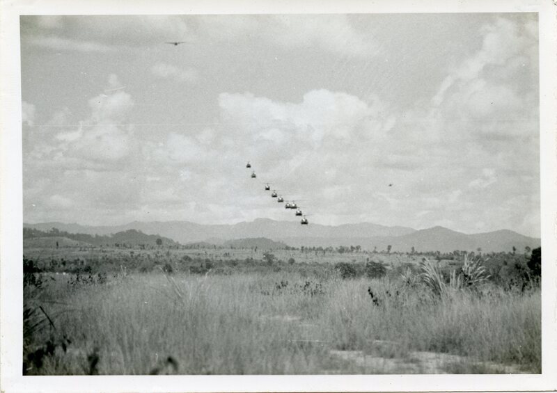
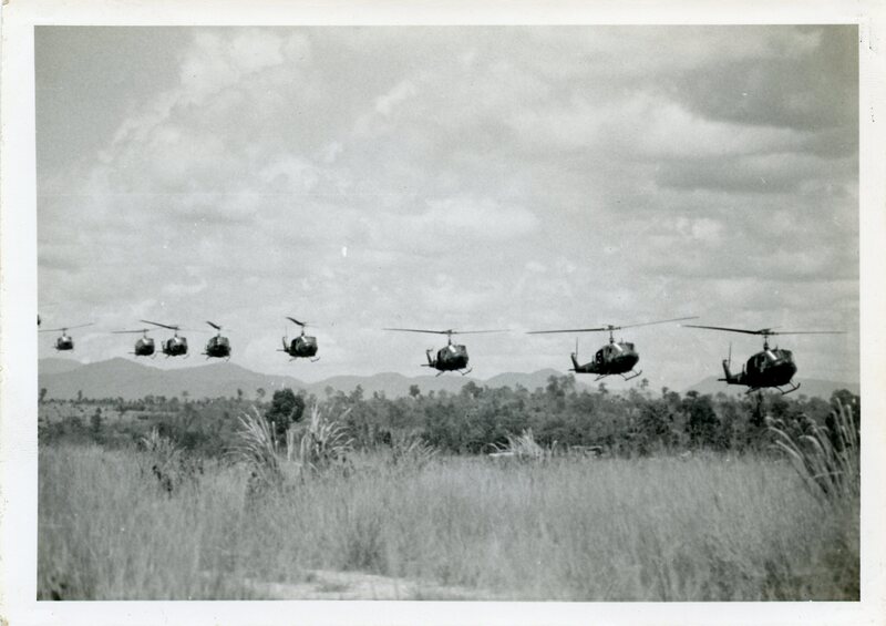
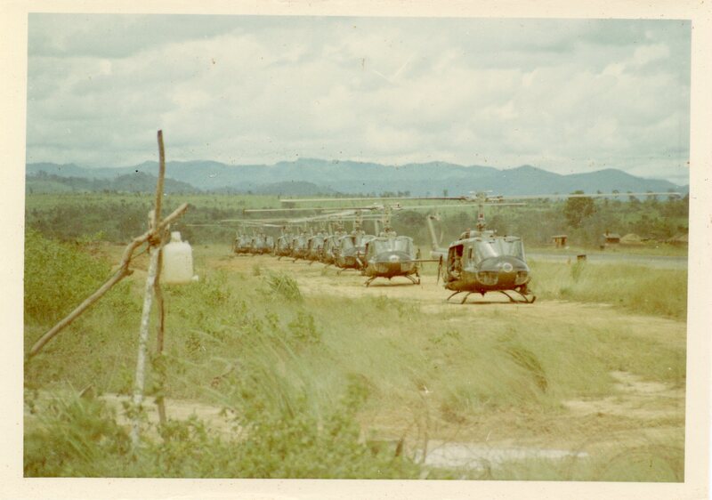
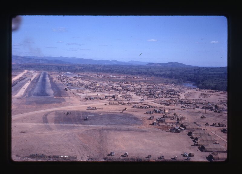
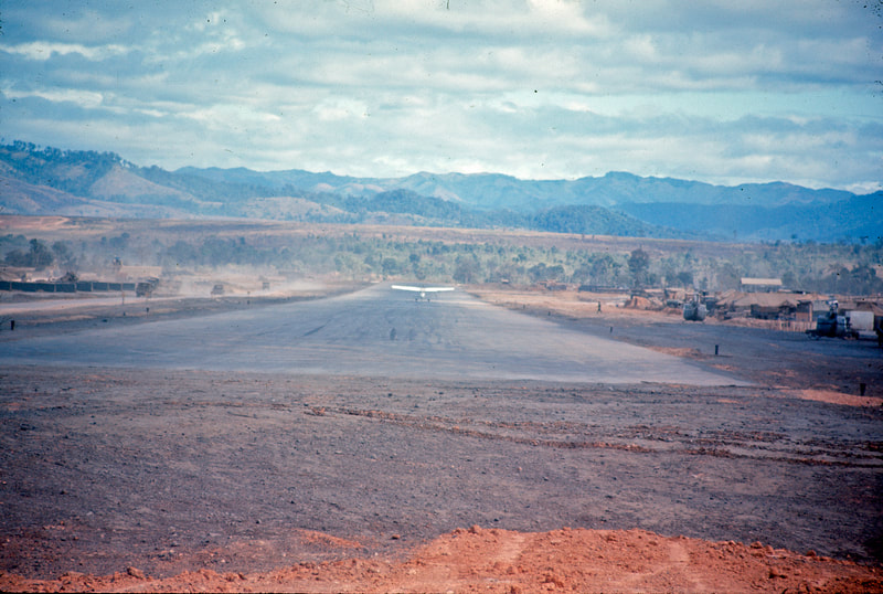
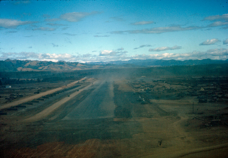
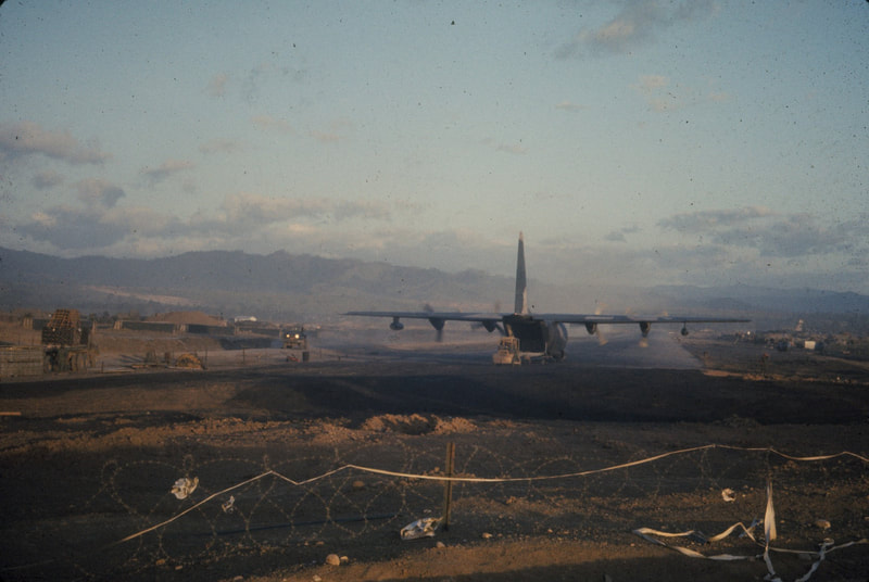
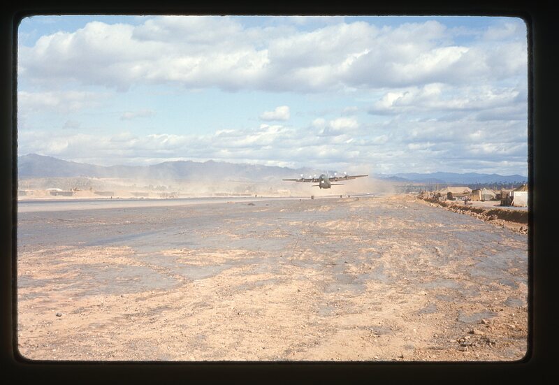
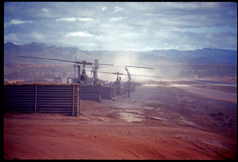
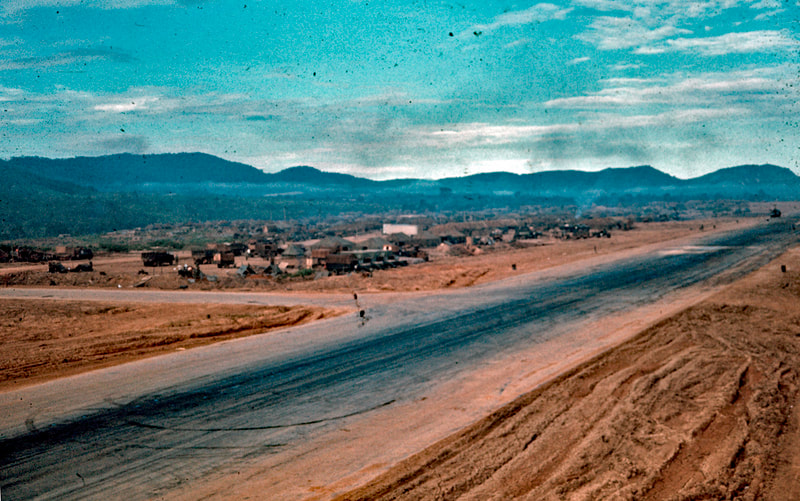
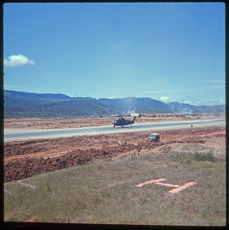
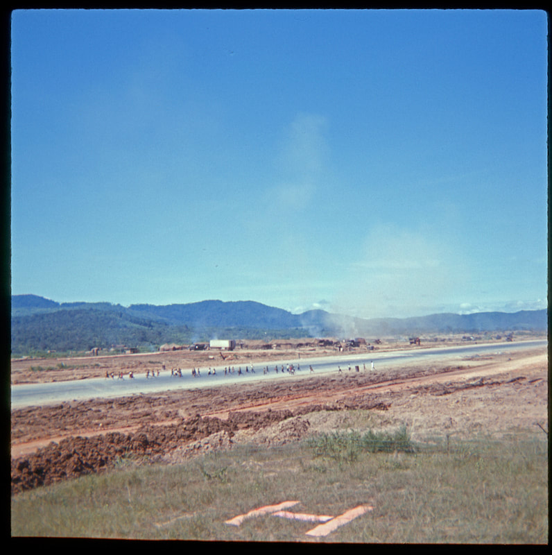
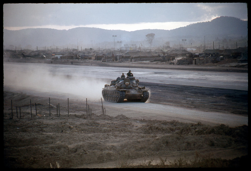
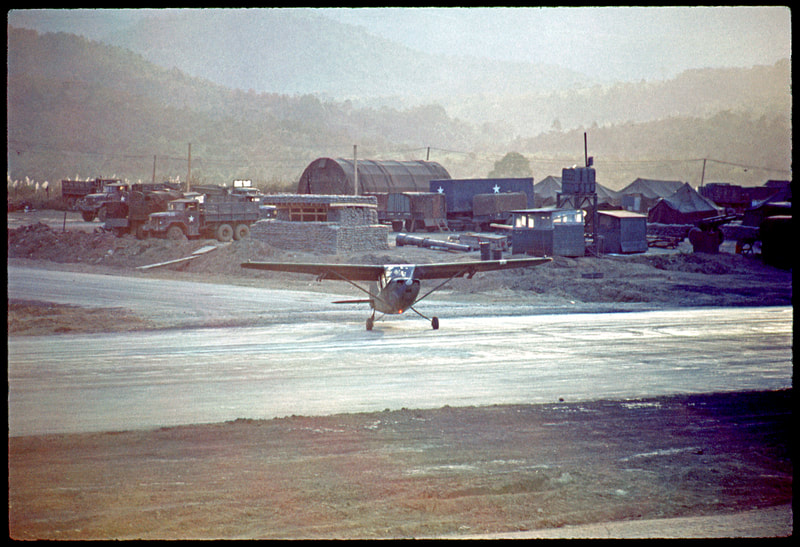
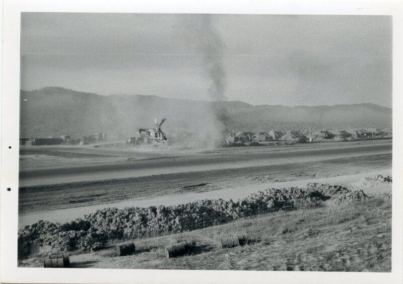
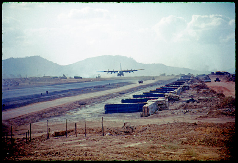
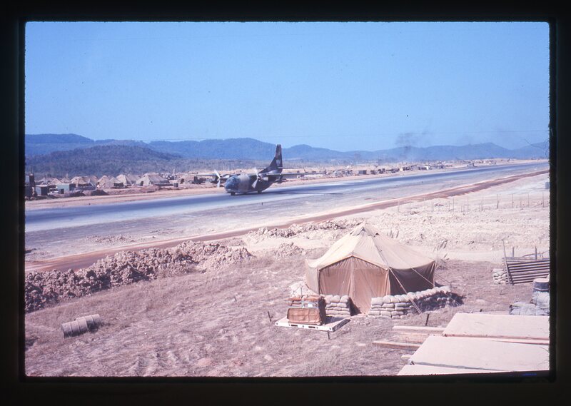
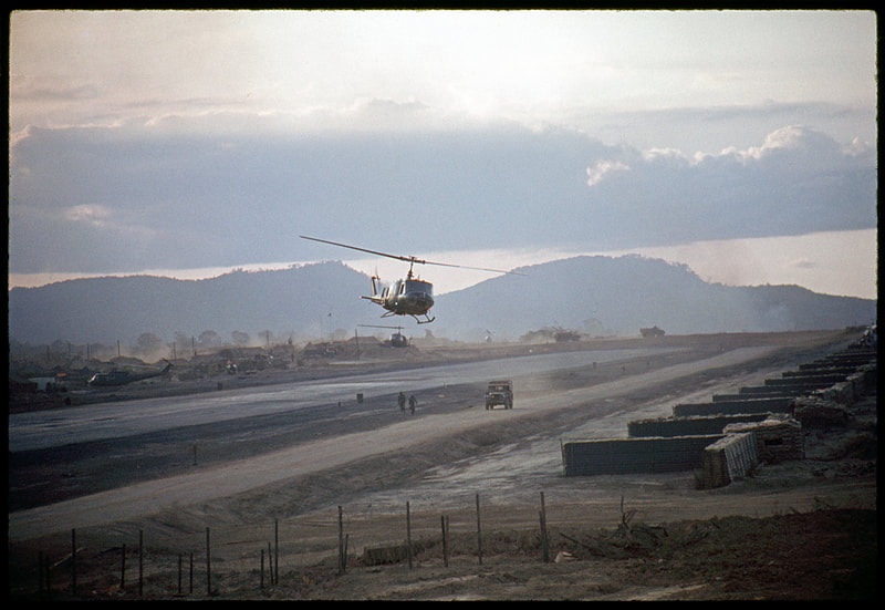
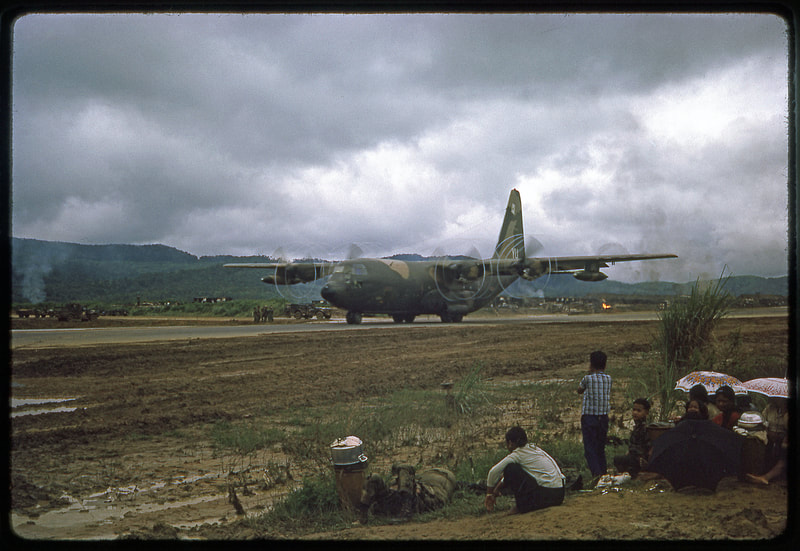
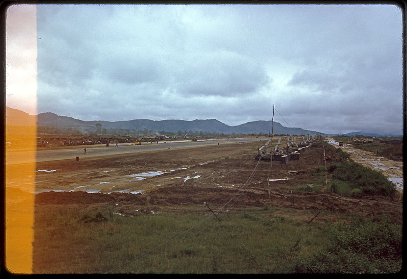
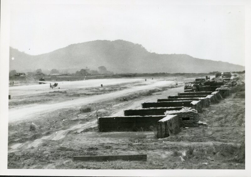
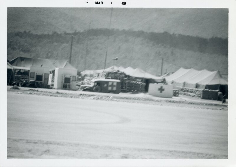
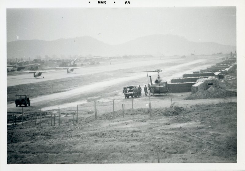
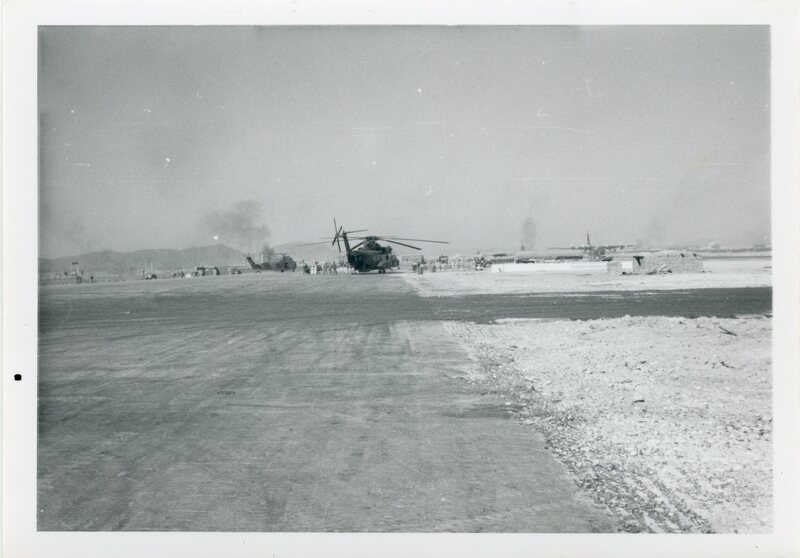
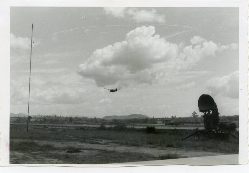
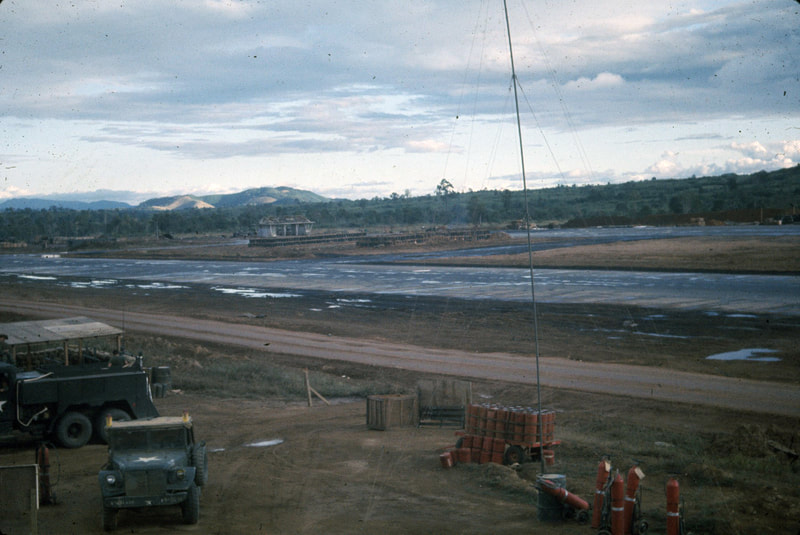
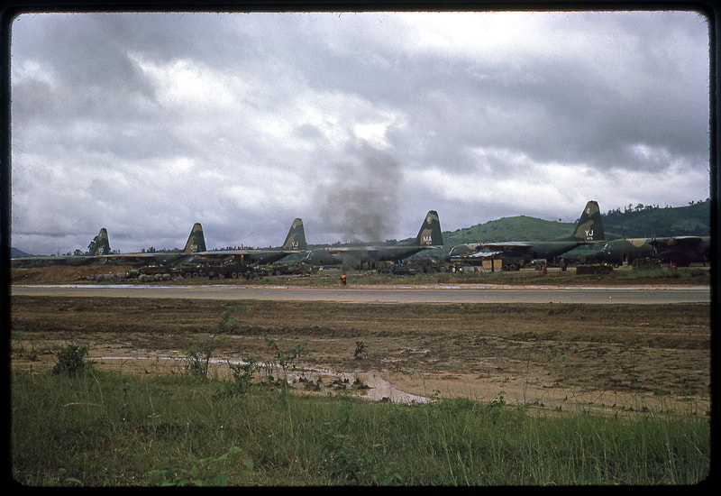
These photos of the Dak To runway are not in date order. By the time these photos were collected from the men of ATC, it was not clear who had taken which photo or when the photo had been taken.
The first photos will show the overall airfield, taken at various times. Then photos of the beginning of Operation MacArthur, with overgrown vegetation alongside the runway. After that, revetments (protective walls) were erected alongside the runway for helicopters to park.
As time went on, more facilities were built in the 4th ID and 173rd areas on the west end of the field. Note, the runway runs East-West, with the ATC tower on the north side and the ramp on the south side.
A few of these photos are from people other than our ATC crew. A few were copied from other sites on the internet, and a couple are from other soldiers at Dak To. I've tried to attribute authorship in the captions of those photos.
